
Sensing
Imaging and sensing systems.
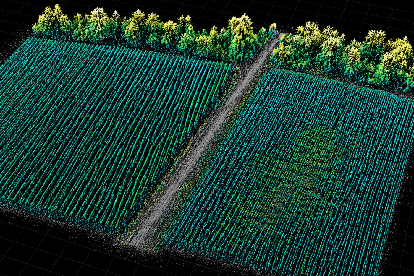
The aircraft carries multispectral imaging, LiDAR, and low-light sensors. Other methods add acoustic, radio, and vibration data.
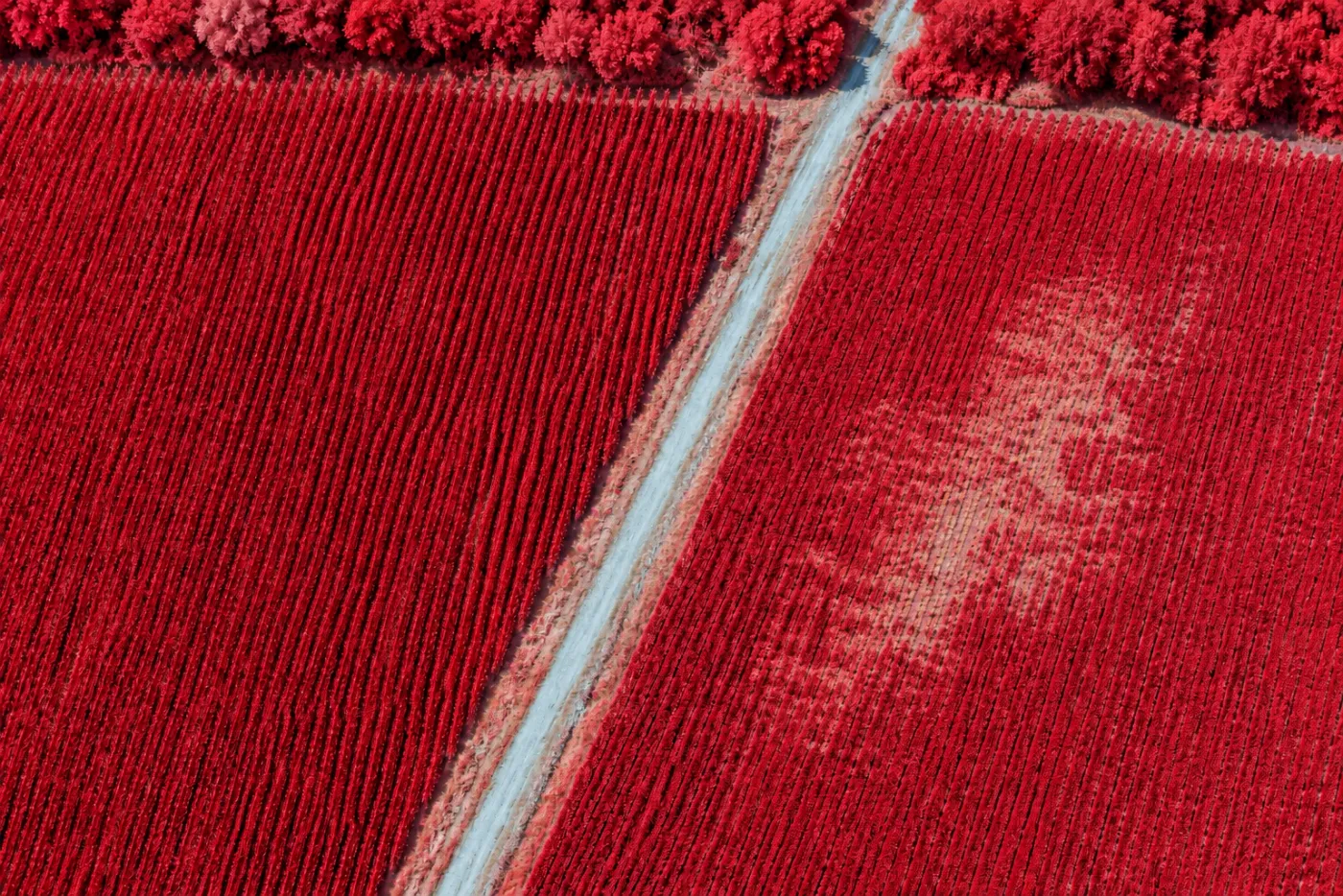
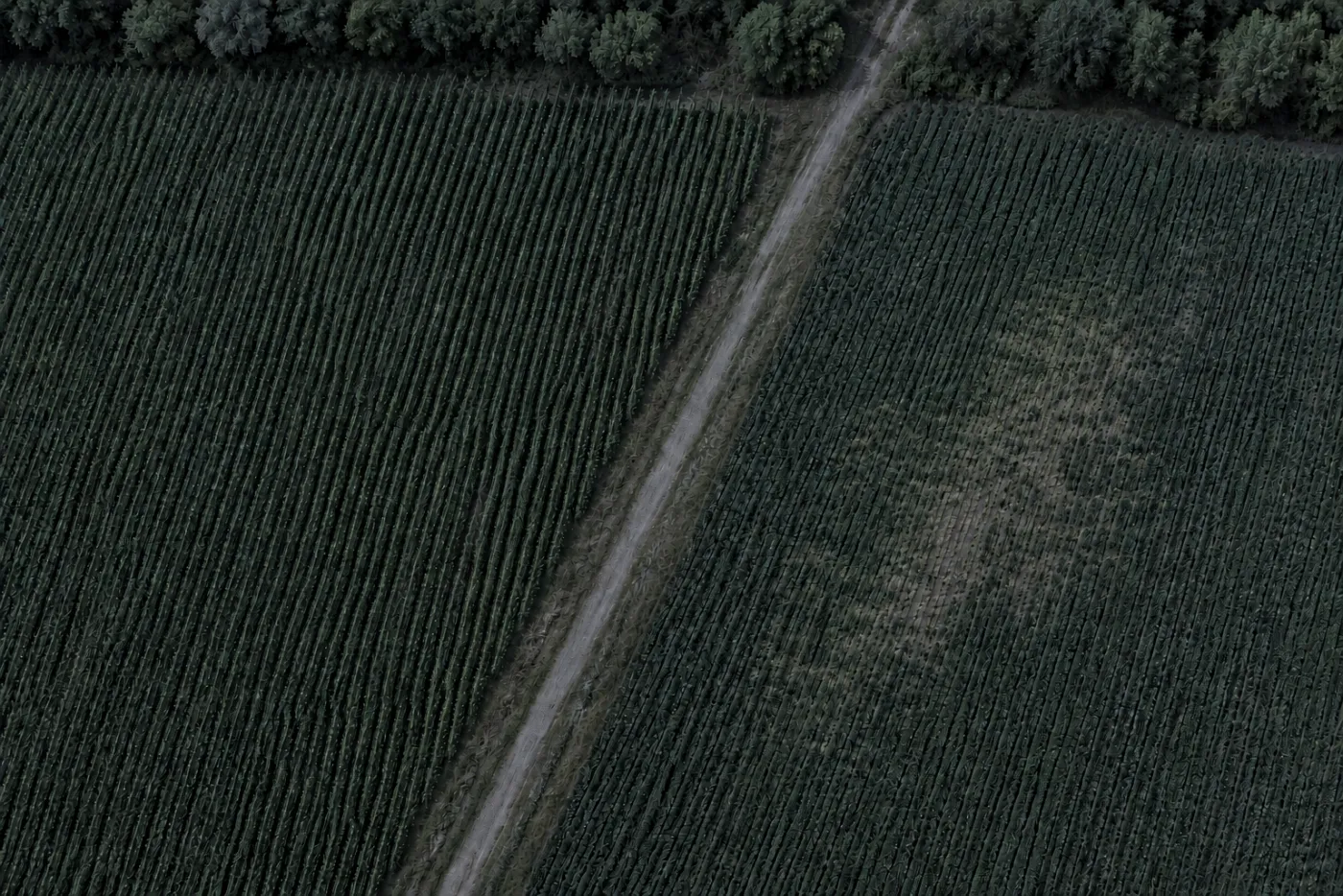
Farm-field imaging
Near-infrared false color emphasizes differences in vegetation response. Dense growth appears red; lighter areas prompt a closer look.
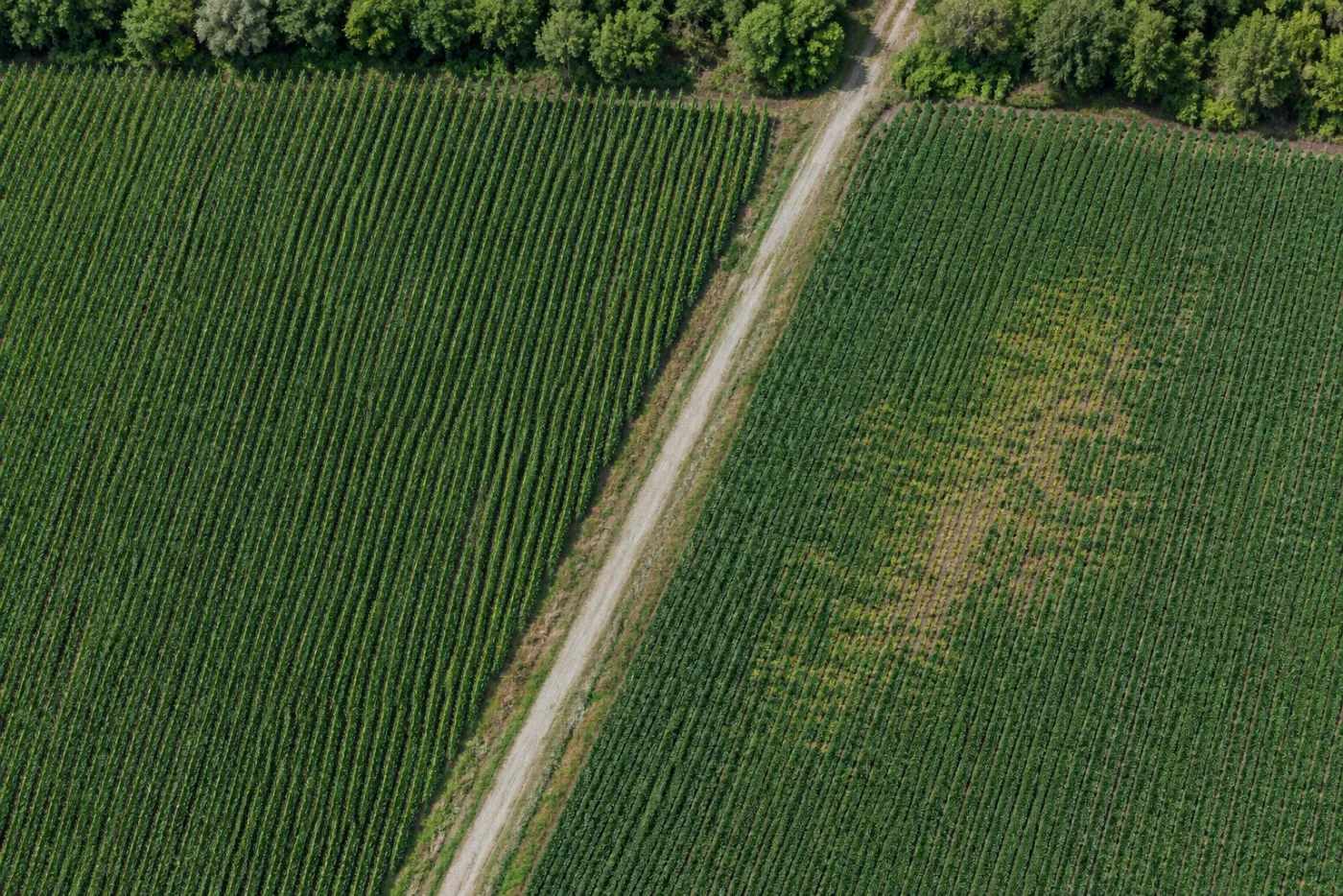
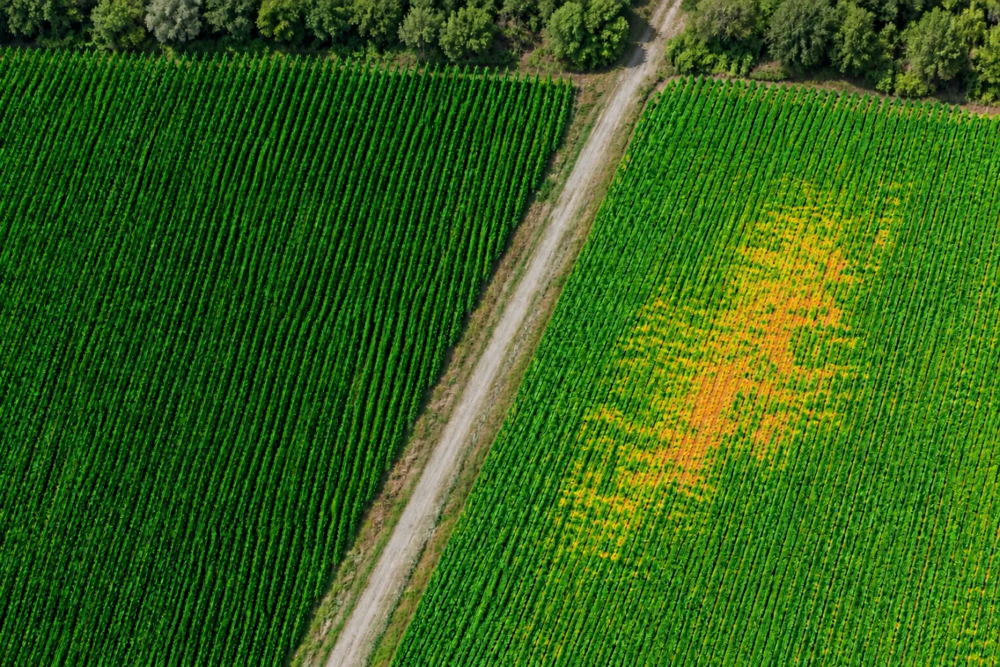
One field, multiple views.
Visible, spectral, spatial, and low-light views answer different questions about the same site.
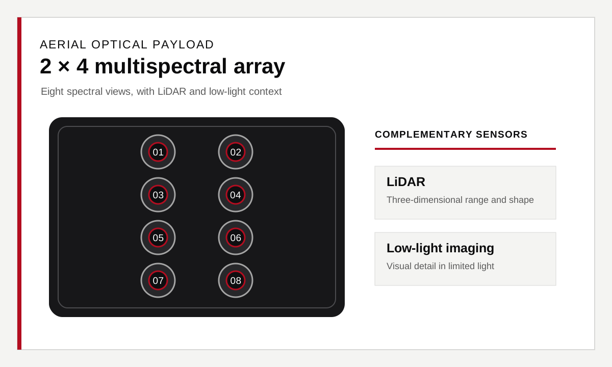
Eight-camera array
A two-column, four-row array brings selected spectral views together across a scene.
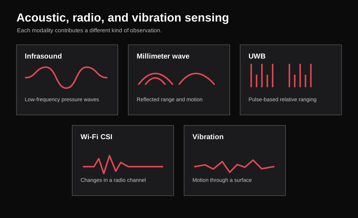
Other sensing methods
Different signals add context that imaging alone cannot supply.
Infrasound detects very low-frequency pressure waves.
Millimeter wave provides range and motion information.
UWB supports ranging and relative position.
Wi-Fi CSI can indicate presence or movement through radio-link changes.
Vibration follows motion in machines and structures.
Sensor data and interpretation
A useful system reports what it measured, where and when it happened, and how confident the interpretation is.
Discuss a project
Tell us what you need to measure.